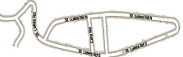
Several people have enquired about the ownership of the raised land around Waldon Point.
The map below shows the area concerned. Identified in pink are the adopted highways, which can be used by the general public.
Note that all other areas on the map are private and not open to unauthorised access.
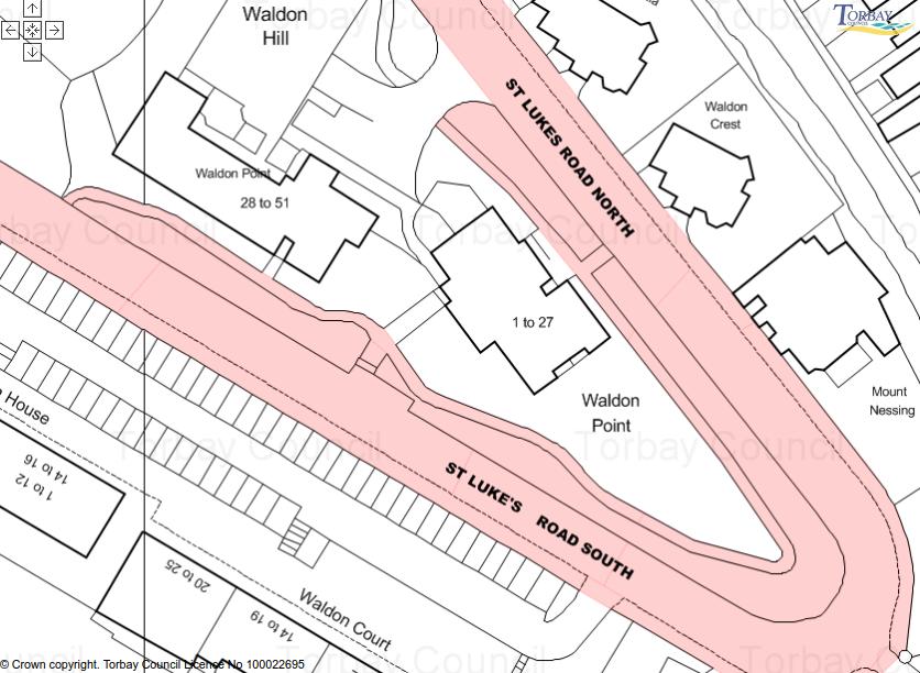
If you use the footpath, take care not to stray from the public area and please respect the residents of Waldon Point.

St Luke's Residents' Association